Analytics
At 4D4, we specialize in providing advanced geospatial analysis solutions to help businesses and organizations unlock the potential of location data. Our team of experienced geospatial analysts, data scientists, and GIS professionals are dedicated to delivering accurate, actionable insights that drive informed decision-making.
What is Geospatial Analysis?
Geospatial analysis is the process of examining and interpreting geographic data to understand patterns, relationships, and trends within a specific area or region. By combining various data sources such as satellite imagery, aerial photography, GPS data, and demographic information, we can derive valuable insights that help businesses gain a competitive edge, optimize operations, and make strategic decisions.

Spatial Data Processing
We possess the expertise to handle diverse geospatial datasets, including vector and raster data, LiDAR data, remote sensing data, and more. Our team utilizes advanced geoprocessing techniques to clean, integrate, and analyze data, ensuring accurate and reliable results.

Geocoding and Address Matching
We offer precise geocoding services that enable you to convert addresses into spatial coordinates. By accurately mapping addresses, you can visualize and analyze location-specific data, identify target markets, optimize delivery routes, and enhance location-based decision-making.

Spatial Visualization
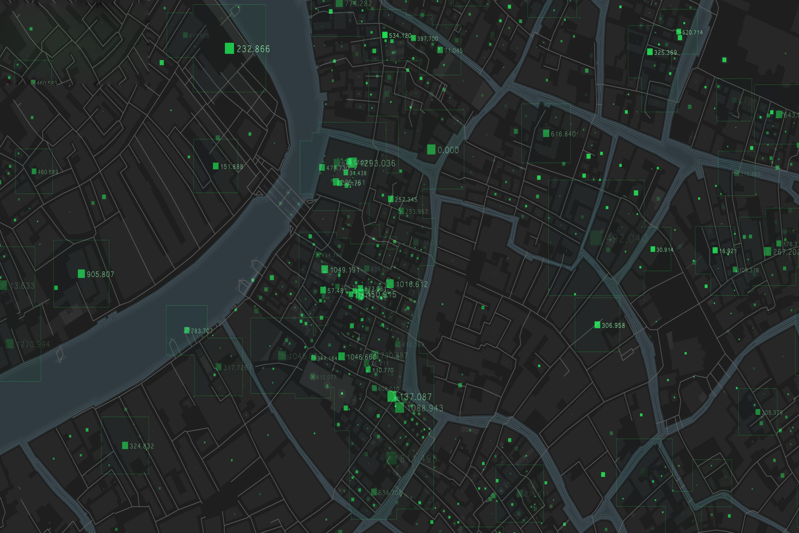
We employ state-of-the-art Geographic Information System (GIS) tools to create visually compelling maps and interactive dashboards. Our spatial visualization solutions enable you to explore and present geospatial data in a clear and intuitive manner, facilitating a deeper understanding of spatial patterns and trends.

Spatial Data Analysis
Our team of experts utilizes advanced analytical techniques to extract meaningful insights from geospatial data. Whether it's identifying hotspots, conducting spatial regression analysis, or performing suitability modeling, we help you uncover hidden patterns and relationships that support evidence-based decision-making.

Network Analysis
We specialize in network analysis to optimize transportation and logistics operations. By leveraging advanced routing algorithms and network optimization techniques, we assist in determining the most efficient routes, identifying bottlenecks, and improving overall transportation efficiency.

Spatial Modeling and Predictive Analytics
We employ cutting-edge spatial modeling and predictive analytics methods to forecast future scenarios, simulate changes, and assess potential impacts. By integrating spatial and non-spatial data, we assist you in understanding the potential outcomes of various decisions and formulating robust strategies.
Custom Geospatial Solutions
We understand that every business has unique requirements. Our team works closely with you to develop tailored geospatial solutions that address your specific needs. Whether it's developing custom spatial algorithms, building geospatial databases, or creating specialized mapping applications, we are here to assist you at every step.
Why Choose 4D4?
Expertise
Our team comprises skilled professionals with extensive experience in geospatial analysis and GIS technologies.
Accuracy and Reliability
We prioritize accuracy and deliver reliable results that you can confidently rely on for critical decision-making.
Advanced Tools and Techniques
We stay up-to-date with the latest geospatial tools, software,
and analytical techniques to ensure cutting-edge solutions.
Customized Approach:
We understand the uniqueness of each project and tailor our services to meet your specific requirements.
Timely Delivery
We value your time and strive to deliver our services within agreed-upon deadlines.
Unlock the Power of Location Data!
Whether you need to optimize your supply chain, identify target markets, analyze environmental impact, or make location-based decisions, our 4D4 Geospatial Analysis Service is here to assist you. Contact us today to discuss your project requirements and discover how we can help you leverage the power of geospatial analysis for your business success.
Send us a message
Reach out to us by sending a message, and we’ll be glad to assist you with your inquiries and needs.
Services
Industry
Get in touch
- USA:- 960 N. Ohlman, # 12 Mitchell, SD 57301
- UAE:- 3rd Floor, Business Centre Dubai, World Central, PO Box-390667
- info@4d4technologies.com
